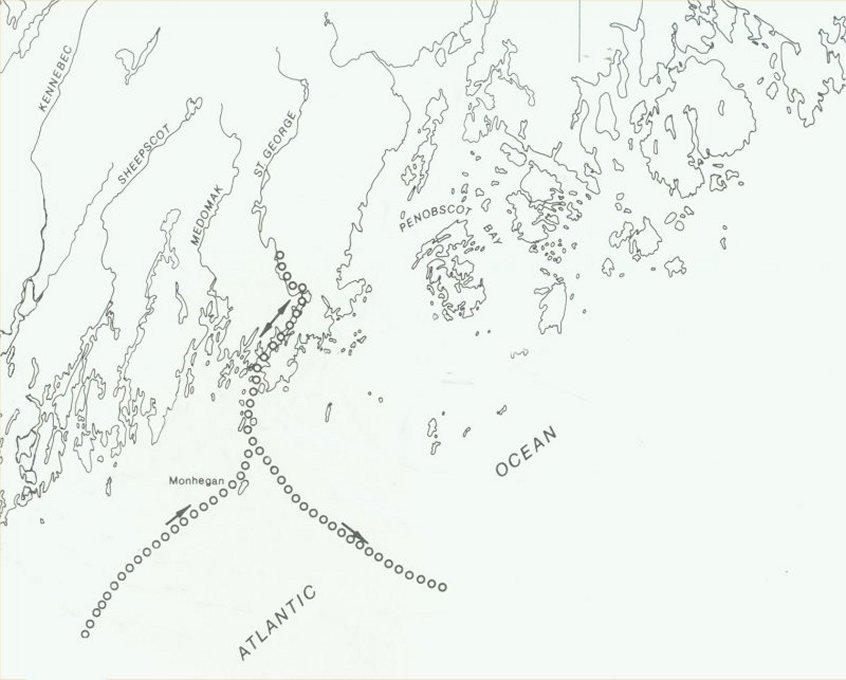
 Click on photograph to enlarge Map Of Captain Waymouth's Voyage |
Early History Of Thomaston |
|
Click on photograph to enlarge Map Of Captain Waymouth's Voyage |
| English navigator and explorer Captain George Waymouth made landfall on Monhegan Island in 1605. From there he found the safe harbor of the St. Georges River, which he named, and explored the lands that form the channel through which the river runs. His crew marked a stone in Cushing and then came north to Thomaston, trying to reach the mountains visible from the river's mouth. The mountains where the Camden Hills, which are NNE of the river's mouth in almost a direct line with the river. |
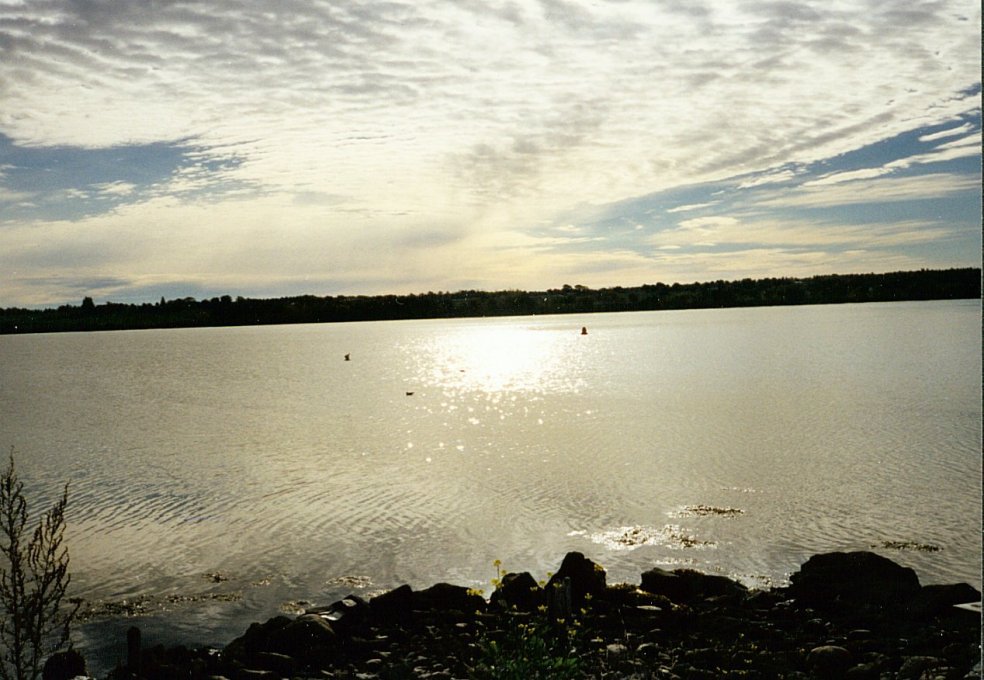
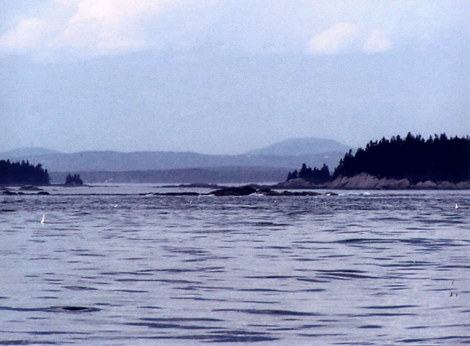 Click on photograph to enlarge Camden Hills seen from mouth of the St. Georges River |
| On June 12, 1605 Captain Waymouth anchored his ship at the base of the St. Georges River. While exploring
in the area, it is believed he used a smaller exploration vessel called a light horseman, and planted a second cross at the bend of the river at the approximate
location of the Thomaston town landing where a commemorative cross now stands. This is the spot where the first Englishman stepped foot on what was to eventually become the continental United States of America. When he made landfall at what is now Thomaston, he was amazed to find the area filled with huge trees ... all with very straight trunks, which, to an English sailor, translated into material for ships' masts. He excitedly ordered his men to cut down trees and he filled his ship with this rich cargo and headed back to England. From that date until the Revolutionary War, the masts and much of the wood for British ships came from Thomaston. Because the English kept returning to the area, the St. Georges River became a very well mapped estuary, especially because it provided, in its 12 mile length to Thomaston, a “safe harbor” from the hurricanes and frequent severe storms of the north Atlantic Ocean. The name of the river has been noted with two different spellings. Depending on what map you consult, or what book you read, the spelling changes from St. Georges to St. George. The explanation for this is really quite simple. The river had, at one time, been the dividing line between French and English controlled land. Anything east of the river fell under the jurisdiction of the French. And the two spellings are simply the French and the English spelling of the same name. |
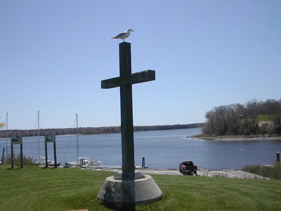 Click on photograph to enlarge Waymouth Cross at the Thomaston Town Landing |
| Now, 400 years later, the St. Georges River is still a vital element to the Town of Thomaston and its neighboring towns along the waterway. The river has always been the lifeblood of these coastal communities. Thomaston, known for its ship building, both past and present, its mining and burning of limestone to create cement, plaster and fertilizer, is just one of the many shoreline towns for which the river provides rich harvests of clams and other fish providing a healthy livelihood for many residents. |
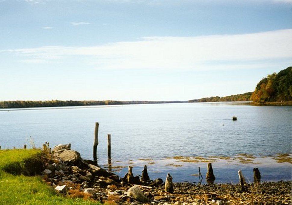 Click on photograph to enlarge St. Georges River looking downstream from Thomaston |
|
For many years it was thought that the Town of Thomaston had been named in honor of General John Thomas. But lingering doubts by some members of the historical society continued to exist because the name "Thomas Town" and "Thomas' Town" kept springing up in historic documents long before Gen. John Thomas did anything for which he could have been honored. In addition, Major General Thomas had no connection to Thomaston, either through birth or place of residence with the exception of having passed through it on his way to Quebec where he unfortunately died of smallpox during the War for Independence. In the spring of 2001, Mr. Beniah Harding, a Thomaston resident, presented the Thomaston Historical Society with a document for our collection that included an English translation of "Thomas Le Febvre's "Et Le Fief Kouesanouskek". The document was about a man from Quebec, Canada, named Thomas LaFebvre. In the early 18th century, he owned a huge amount of land along the Weskeag River in what is now South Thomaston and a very large portion of the property that is now the Town of Thomaston. (Thomaston had, at one time, included all of the land that now comprises the towns of Thomaston, South Thomaston and Rockland.) LeFebvre built a large grist mill on the Weskeag River and built a house on its shoreline. After bringing two of his sons to the area to help develop it, he eventually returned to Quebec. It was during his stay here that the area was first recognized and called "Thomas' town". As this naming took place long before General
Thomas was even born, the most probable explanation for the naming of the
town must be credited to Thomas LeFebvre whose stay in the area began in
1704. There had been a fort in the area named Fort
St. George during the Revolutionary War. Several archeological digs have
been made trying to determine the exact location of the fort but none of
them have been conclusive. The general area is known but not the specific
boundary lines of the fort. |
 Click on photograph to enlarge View across the St. Georges River from Fort St. George |